Deliverables
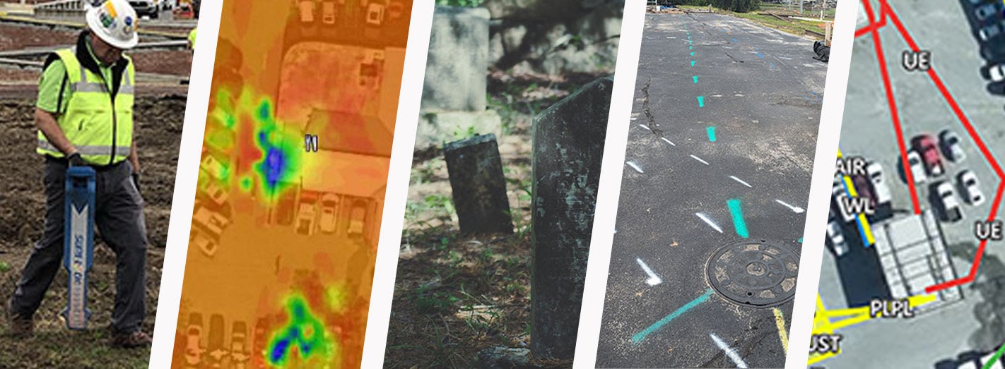
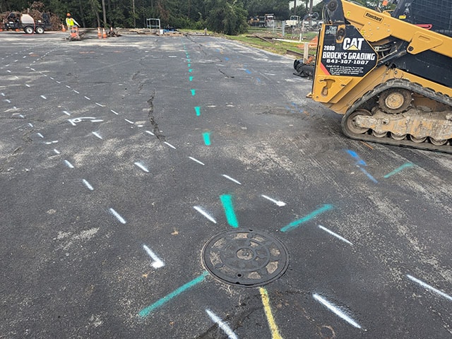
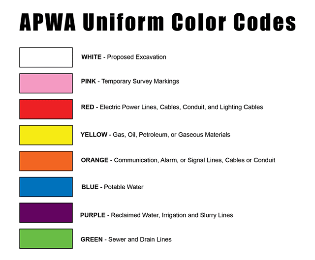
Reed Tech’s standard deliverable is field markings of findings. Detected subsurface utilities are marked with paint and/or flags using the American Public Works Association (APWA) Uniform Color Code. Field markings successfully meet the needs of many of our clients in a budget conscious manner.
Additional Deliverables
Reed Tech provides supplementary deliverables to meet the additional documentation needs of our clients. These additional deliverables are available at additional cost and must be requested prior to the beginning of work.
If you don’t find what you require, please reach out to Reed Tech for a tailored discussion regarding your specific needs. We continuously seek opportunities to enhance our client service.
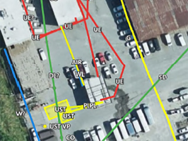
Utility Mapping
Reed Tech offers submeter accuracy utility mapping. These deliverables include a pdf map (PDF of findings overlain on aerial imagery), shapefiles of points & lines, and KML file (Google Earth file).
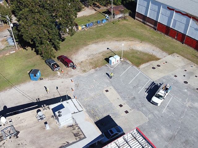
Aerial Photography
Reed Tech tech maintains FAA remote pilot certification to provide aerial photography of findings. Aerial photography assists our clients in gaining a comprehensive perspective of their project site from above. Geophysical Evaluations can be improved by providing this broader view, helping to identify surface features, potential anomalies and patterns.
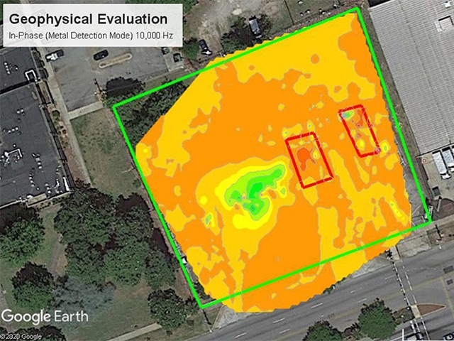
Technical Report
Reed Tech’s clients often require a Technical Report of their services. These records include background information, technical approach and results, including analytical figures. Reporting is commonly requested for documenting UST investigations/findings and archaeological investigations/findings of unmarked graves and cemeteries.
